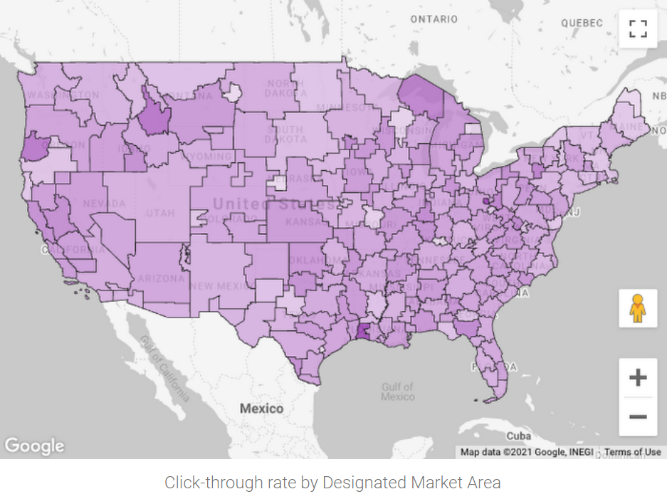
Looker 数据洞察是 Google Marketing Platform 提供的免费自助式报告和数据可视化服务,可与 BigQuery 和数百个其他数据源连接。该服务支持 BigQuery GEOGRAPHY 多边形的各种地理位置字段类型和等值映射。借助基于 Google 地图的可视化功能,您可以如在 Google 地图中一样,直观呈现地理数据并与之互动:平移、放大甚至是进入街景视图。
[[["易于理解","easyToUnderstand","thumb-up"],["解决了我的问题","solvedMyProblem","thumb-up"],["其他","otherUp","thumb-up"]],[["很难理解","hardToUnderstand","thumb-down"],["信息或示例代码不正确","incorrectInformationOrSampleCode","thumb-down"],["没有我需要的信息/示例","missingTheInformationSamplesINeed","thumb-down"],["翻译问题","translationIssue","thumb-down"],["其他","otherDown","thumb-down"]],["最后更新时间 (UTC):2025-03-06。"],[[["Geospatial analytics allows for the visualization of geographic location data through various tools."],["Looker Studio offers a no-cost, self-serve reporting and data visualization service with features like geographic field types, choropleth maps, and Google Maps-based visualization."],["BigQuery Geo Viz is a lightweight web tool that enables the visualization of geospatial data from BigQuery via interactive maps but is limited in terms of real-time analysis and supported inputs."],["Google Earth Engine provides another avenue for visualizing geospatial data by exporting data to Cloud Storage and using the Earth Engine's tools."],["Jupyter notebooks, with the GeoJSON extension, can be utilized for visualizing geospatial data in GeoJSON format."]]],[]]