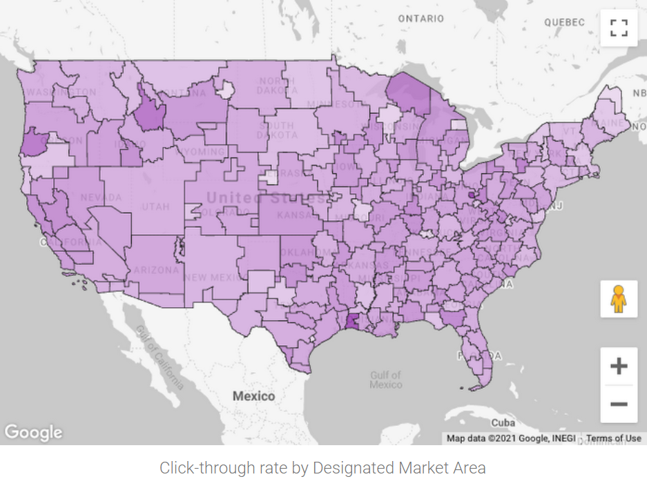
Looker Studio는 Google Marketing Platform의 무료 셀프 서비스 보고 및 데이터 시각화 서비스로, BigQuery 및 수백 개의 다른 데이터 소스에 연결됩니다. 이 서비스에서는 다양한 지리적 필드 유형과 BigQuery GEOGRAPHY 다각형의 등치 지역도가 지원됩니다. Google 지도 기반 시각화를 통해 Google 지도에서와 마찬가지로 지리 데이터를 시각화하고 상호작용(화면 이동, 확대, 스트리트 뷰로 전환)할 수 있습니다.
BigQuery Geo Viz는 Google 지도 API를 사용하여 BigQuery에서 지리정보 데이터를 시각화하기 위한 웹 도구입니다. SQL 쿼리를 실행하고 대화형 지도에 결과를 표시할 수 있습니다. 유연한 스타일 지정 기능을 사용하여 데이터를 분석 및 탐색할 수 있습니다.
BigQuery Geo Viz는 모든 기능을 갖춘 지리정보 분석 시각화 도구가 아닙니다. Geo Viz는 한 번에 쿼리 1개씩 지리정보 분석 쿼리 결과를 지도에 시각화하는 간단한 방법입니다.
Geo Viz를 사용하여 지리정보 데이터를 시각화하는 예시를 보려면 지리정보 분석 시작하기를 참조하세요.
Google Earth Engine을 사용하여 지리정보 데이터를 시각화할 수도 있습니다. Google Earth Engine을 사용하려면 BigQuery 데이터를 Cloud Storage로 내보낸 다음 Google Earth Engine으로 가져와야 합니다. Google Earth Engine 도구를 사용하여 데이터를 시각화할 수 있습니다.
[[["이해하기 쉬움","easyToUnderstand","thumb-up"],["문제가 해결됨","solvedMyProblem","thumb-up"],["기타","otherUp","thumb-up"]],[["이해하기 어려움","hardToUnderstand","thumb-down"],["잘못된 정보 또는 샘플 코드","incorrectInformationOrSampleCode","thumb-down"],["필요한 정보/샘플이 없음","missingTheInformationSamplesINeed","thumb-down"],["번역 문제","translationIssue","thumb-down"],["기타","otherDown","thumb-down"]],["최종 업데이트: 2025-08-26(UTC)"],[[["\u003cp\u003eGeospatial analytics allows for the visualization of geographic location data through various tools.\u003c/p\u003e\n"],["\u003cp\u003eLooker Studio offers a no-cost, self-serve reporting and data visualization service with features like geographic field types, choropleth maps, and Google Maps-based visualization.\u003c/p\u003e\n"],["\u003cp\u003eBigQuery Geo Viz is a lightweight web tool that enables the visualization of geospatial data from BigQuery via interactive maps but is limited in terms of real-time analysis and supported inputs.\u003c/p\u003e\n"],["\u003cp\u003eGoogle Earth Engine provides another avenue for visualizing geospatial data by exporting data to Cloud Storage and using the Earth Engine's tools.\u003c/p\u003e\n"],["\u003cp\u003eJupyter notebooks, with the GeoJSON extension, can be utilized for visualizing geospatial data in GeoJSON format.\u003c/p\u003e\n"]]],[],null,["# Visualize geospatial data\n=========================\n\nGeospatial analytics lets you visualize geographic location data by\nusing the following:\n\n- [BigQuery Studio](#bigquery_studio)\n- [Looker Studio](#data_studio)\n- [BigQuery Geo Viz](#geo_viz)\n- [Colab notebooks](#colab)\n- [Google Earth Engine](#google_earth)\n\nBigQuery Studio\n---------------\n\n|\n| **Preview**\n|\n|\n| This feature is subject to the \"Pre-GA Offerings Terms\" in the General Service Terms section\n| of the [Service Specific Terms](/terms/service-terms#1).\n|\n| Pre-GA features are available \"as is\" and might have limited support.\n|\n| For more information, see the\n| [launch stage descriptions](/products#product-launch-stages).\n| **Note:** To request support or provide feedback for this feature, email [bigquery-earthengine-preview-support@google.com](mailto:bigquery-earthengine-preview-support@google.com).\n\nBigQuery Studio offers an integrated geography data viewer. When your query\nresults contain one or more `GEOGRAPHY` type columns, you can view the results\nin an interactive map.\nTo view the map, in the **Query results** pane, click the **Visualization** tab.\n\nVisualization in BigQuery is ideal for quick inspections and\niterative query development. You can visually confirm data alignment with\nexpectations, identify outliers, and assess the correctness of your spatial\ndata. It's also useful for ad hoc analysis to explore results and derive\nimmediate conclusions from geospatial queries.\n\nTo see an example of how to use the integrated geography viewer, see\n[Get started with geospatial analytics](/bigquery/docs/geospatial-get-started).\n\n### BigQuery Studio limitations\n\n- You can only visualize one `GEOGRAPHY` column at a time.\n- Performance is subject to browser capabilities and isn't intended for rendering extremely large or complex datasets. BigQuery renders up to approximately one million vertices, 20,000 rows, or 128 MB of results.\n\nLooker Studio\n-------------\n\nLooker Studio is a no-cost, self-serve reporting and data visualization\nservice from Google Marketing Platform that connects to BigQuery\nand hundreds of other data sources. The service includes support for a variety\nof [geographic field types](https://support.google.com/looker-studio/answer/9843174)\nand [choropleth maps](https://en.wikipedia.org/wiki/Choropleth_map) of\nBigQuery `GEOGRAPHY` polygons. With\n[Google Maps-based visualization](https://support.google.com/looker-studio/answer/9713352),\nyou can visualize and interact with your geographic data just as you do with\nGoogle Maps: pan around, zoom in, and pop into Street View.\n\nFor a walkthrough of geospatial analytics in Looker Studio, see\n[Visualize BigQuery `GEOGRAPHY` polygons with Looker Studio](https://support.google.com/looker-studio/answer/10502383).\n\nBigQuery Geo Viz\n----------------\n\nBigQuery Geo Viz is a web tool for visualization of geospatial\ndata in BigQuery using Google Maps APIs. You can run a SQL query\nand display the results on an interactive map. Flexible styling features let\nyou analyze and explore your data.\n\nBigQuery Geo Viz is not a fully featured geospatial analytics\nvisualization tool. Geo Viz is a lightweight way to visualize the results of a\ngeospatial analytics query on a map, one query at a time.\n\nTo see an example of using Geo Viz to visualize geospatial data, see\n[Get started with geospatial analytics](/bigquery/docs/geospatial-get-started).\n\nTo explore Geo Viz, go to the Geo Viz web tool:\n\n[Go to Geo Viz](https://bigquerygeoviz.appspot.com/)\n\n### Geo Viz limitations\n\n- Geo Viz supports geometry inputs (points, lines, and polygons) that are retrieved as a `GEOGRAPHY` column. You can use BigQuery's geography functions to convert latitude and longitude to `GEOGRAPHY`.\n- The number of results that Geo Viz can display on a map is limited by browser memory. You can lower the resolution and reduce size of geospatial data returned from the query by using `ST_Simplify` function.\n- Real-time, interactive analysis is handled locally by your browser and is subject to your browser's capabilities.\n- Geo Viz supports sharing visualizations only with users authorized to execute queries in the same BigQuery project.\n- Geo Viz does not support downloading a visualization for offline editing.\n\nColab notebooks\n---------------\n\nYou can also perform geospatial visualizations in Colab\nnotebooks. For a tutorial on building a Colab notebook to\nvisualize data, see [BigQuery geospatial visualization in Colab](/bigquery/docs/geospatial-visualize-colab).\n\nTo view and run a prebuilt notebook, see [BigQuery geospatial visualization in Colab](https://github.com/GoogleCloudPlatform/bigquery-utils/blob/master/notebooks/bigquery_geospatial_visualization.ipynb) in GitHub.\n\nGoogle Earth Engine\n-------------------\n\nYou can also visualize geospatial data using Google Earth Engine. To use\nGoogle Earth Engine, export your BigQuery data to Cloud Storage\nand then import it into Google Earth Engine. You can use the Google Earth Engine tools\nto visualize your data.\n\nFor more information on using Google Earth Engine, see the:\n\n- [Google Earth Engine developer's guide](https://developers.google.com/earth-engine/)\n- [Google Earth Engine API tutorials](https://developers.google.com/earth-engine/tutorials)"]]