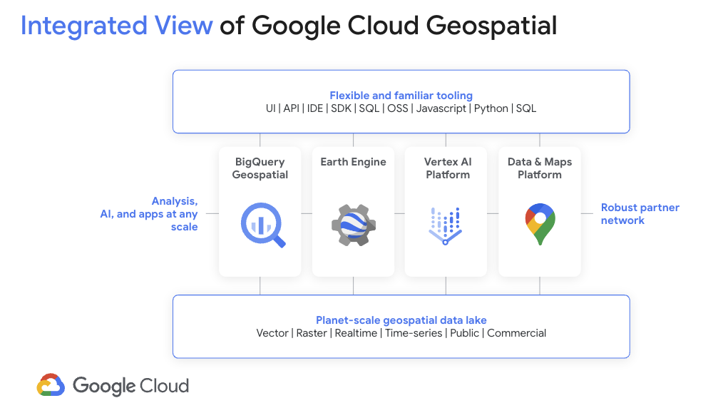
Geospatial Analytics
Easily access insights to make more informed and faster business and sustainability decisions. With rich geospatial datasets from Google Maps Platform and Earth Engine integrated into BigQuery's AI-ready data analytics platform, our geospatial solutions make it easy for any professional to derive geospatial insights.

Benefits
Access planetary scale geospatial solutions and insights, without GIS training
Explore comprehensive, global geospatial datasets
Explore comprehensive, global geospatial datasets
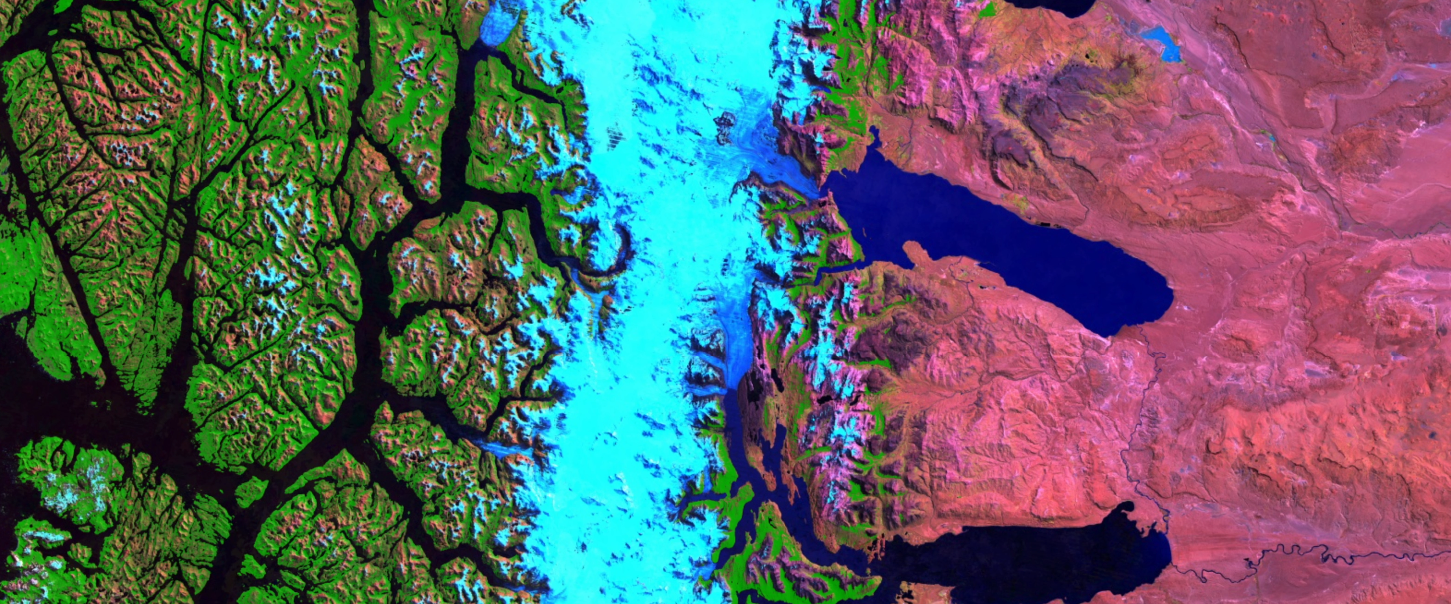
Unlock planetary-scale analysis with Earth Engine’s multi-petabyte catalog of satellite imagery and 1,000+ earth observation datasets. Access business insights from Google Maps Platform, with POI data that covers 250M+ businesses and places, 280B+ street view images, and comprehensive routes data for over 200 countries and territories.
Integrate your data with our geospatial data into BigQuery
Integrate your data with our geospatial data into BigQuery
Seamlessly integrate analysis-ready imagery and geospatial data into your existing BigQuery workflows. BigQuery is a fully managed, AI-ready data analytics platform that helps you maximize value from your geospatial data and is designed to be multi-engine, multi-format, and multicloud.
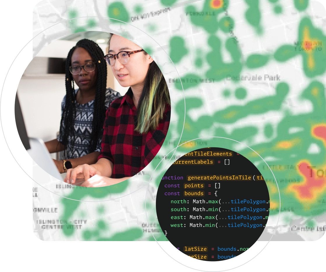
Unleash the power of generative AI with BigQuery and Vertex AI
Unleash the power of generative AI with BigQuery and Vertex AI
Unlock generative AI use cases with BigQuery and Gemini models. Build data pipelines that blend structured data, unstructured data, and generative AI models together to create a new class of analytical applications. BigQuery integrates with Gemini 1.0 Pro using Vertex AI.
Key Products
Easy-to-use geospatial datasets from Google Maps Platform and Earth Engine, seamlessly integrated with BigQuery
Robust geospatial datasets with integrated BigQuery capabilities that empower you to unlock business and sustainability insights, without remote sensing or GIS expertise.
Google Earth Engine in BigQuery
Enrich your geospatial data in BigQuery with Earth Engine's deep collection of data about the world, all from within BigQuery Studio. Analyze and visualize earth data at scale to quickly access insights and build powerful solutions for a more sustainable future. Run custom machine learning models using the capabilities of Vertex AI and the 90+ petabytes of data in Earth Engine’s data catalog.
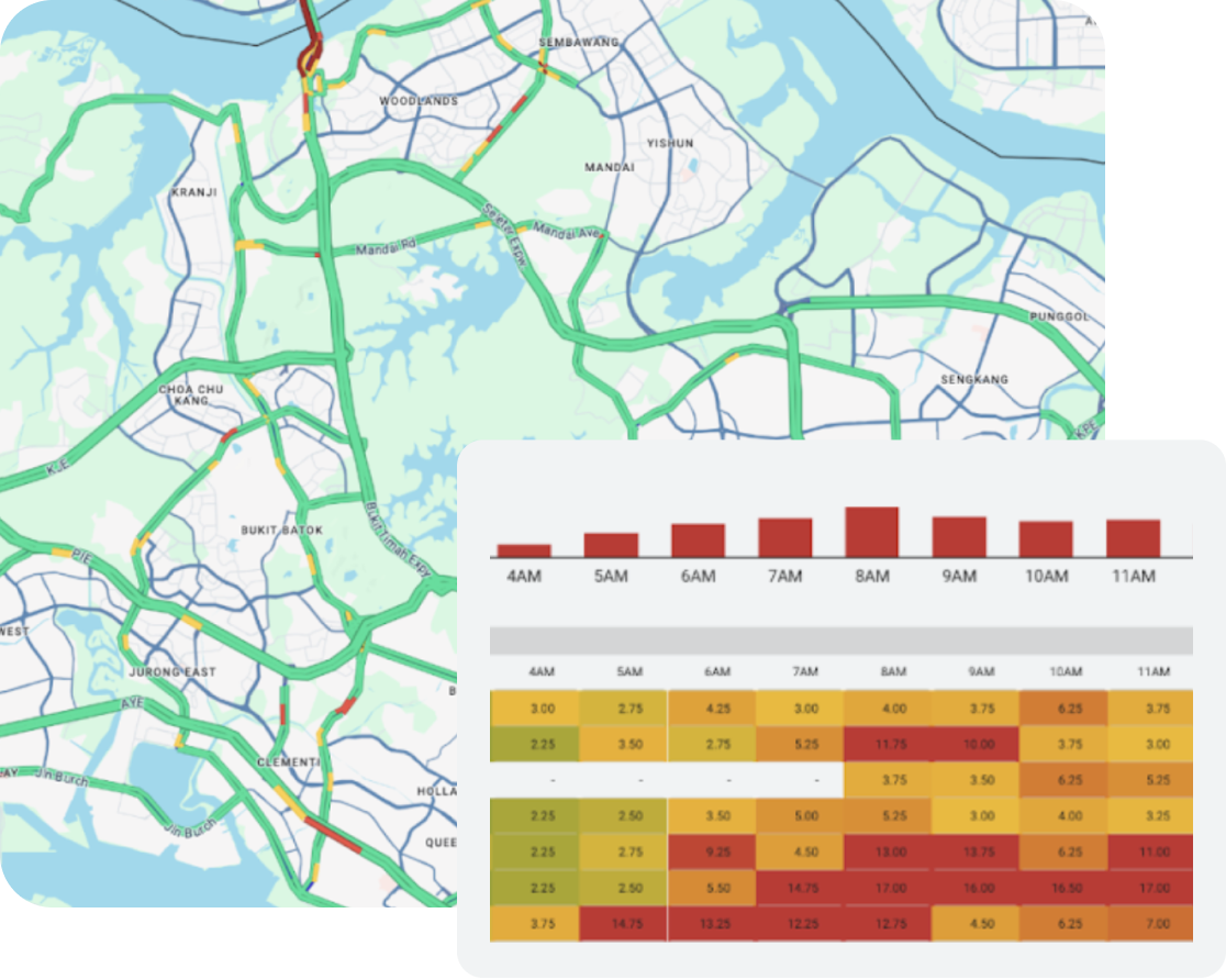
Roads Management Insights
Overcome the limitations of traditional data collection methods and proactively respond to congestion and traffic issues. Use historical data analytics to identify congestion patterns within your road networks, pinpoint potential causes of slowdowns, and take informed action. Detect and respond to sudden speed drops, pinpoint the cause, and enable swift action like rerouting traffic.
Places Insights
Combine your data with Google Maps’ rich POI data using Places Insights in BigQuery’s data clean rooms. Uncover key attributes such as place types, ratings, store hours, and wheelchair accessibility. Use the Places dataset to inform business decisions, like identifying the best location for a store. Harness the scale and performance of BigQuery to power your most demanding geospatial analysis needs.
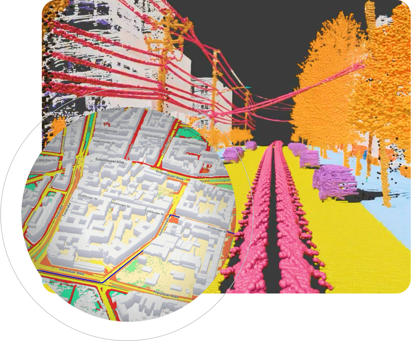
Imagery Insights
Transform your operational model, workflows, and decision-making with large-scale remote sensing and AI-powered insights from our imagery. Use image analysis to automate asset identification and simplify complex planning processes. Gain visibility from design to maintenance, using a 3D digital twin integrated with your GIS systems. Control costs and meet operational demands of scaled distributed infrastructure assets.
Ready to get started?
Contact sales about Earth Engine in BigQuery.
Sign up to learn more about datasets from Google Maps Platform.
Partners
Featured geospatial cloud partners
Connect with our partners to accelerate launching, innovating, or running geospatial applications. And do so on the industry's cleanest cloud.


Related services
Geospatial cloud products
 BigQueryTap into BigQuery's native support for vector data analysis in common geospatial data formats.
 Earth EngineLeverage Google's planet-scale geospatial data catalog coupled with powerful computing infrastructure.
 Google Maps PlatformExplore where real-world insights and immersive location experiences can take your business.
 Vertex AIBuild, deploy, and scale geospatial ML models faster, with pre-trained and custom tooling within a unified AI platform.
 Cloud SQLRun the popular PostGIS extension of PostgreSQL without self-management hassles.
 DataprocSpin up fully managed Spark environments with Dataproc for processing geospatial data at scale.
Documentation
Getting started guides and technical documentation
Geospatial analytics architecture
Helps you understand Google Cloud geospatial capabilities and how you can use these capabilities in your geospatial analytics applications. This document is intended for geographic information systems (GIS) professionals, data scientists, and application developers who want to learn how to use the products and services available in Google Cloud to deliver geospatial insights to business stakeholders.
Take the next step
Tell us what you’re solving for. A Google Maps Platform expert will help you find the best solution.
Work with a trusted partner
Find a partnerExpress interest in testing our experimental products
Sign upDeploy ready-to-go solutions
Explore marketplace


