Improving sustainability with our Earth Engine and BigQuery connector
Emily Schechter
Senior Product Manager
We are thrilled to announce general availability of a new feature that simplifies the export of tabular data from Google Earth Engine into BigQuery.
Earth Engine and BigQuery share a common goal to make large-scale data processing accessible and usable by a wide range of people and applications. Earth Engine focuses on image (raster) processing, whereas BigQuery is optimized for processing large tabular datasets and is a critical part of many Google Cloud data analytics workflows. This new connector is our first major step towards deeper interoperability between the two platforms, improving ease-of-use for workflows that use both services, and enabling new analyses that combine raster and tabular data.
How the connector is being used to improve crop sustainability
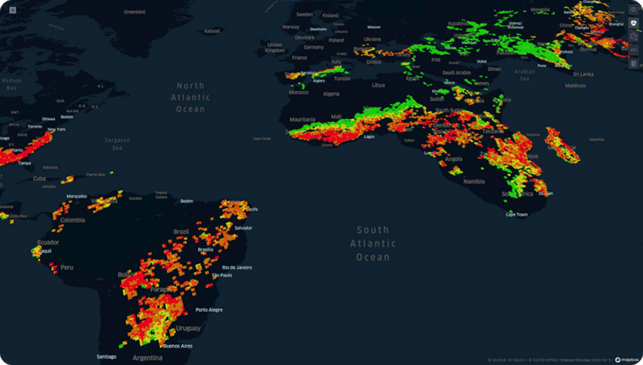
Woza, a Google partner with Google Cloud Ready - Sustainability designation, is a startup that develops next-gen geospatial intelligence technology using Earth Engine and BigQuery, helping governments and corporations tackle global challenges such as climate change, geographic risk, and sustainability. Utilizing the new connector, Woza is able to integrate new and more intricate variables into their crop and supply chain sustainability solutions.
The actionable sustainability insights and solutions Woza provides are beneficial for Consumer Packaged Goods (CPGs) companies looking to optimize their supply chains by identifying the most environmentally responsible suppliers and participants in their supply chain, right down to a specific farm. Access to cloud-based information, without the need for technical infrastructure, enables small and medium-sized producers to validate their processes instantly and in a highly accessible manner, opening the possibility for them to enter more stringent markets, such as the European Union and USA.
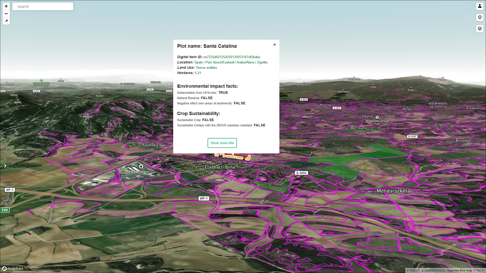
Ag-tech company Sima created an intelligent agriculture solution that allows CPGs to monitor their fields, geolocate data, analyze information, and generate spray application orders. To build this solution, they employ Woza innovations that allow them to perform sustainability validations and to support and improve on-field productivity.
In Sima's solution, information is displayed through grids, allowing financial and operational actors within the supply chain to better identify potential areas for cultivation that meet sustainability guidelines, while also identifying and disqualifying areas that do not meet sustainability criteria. This type of aggregated geospatial analysis from Earth Engine and BigQuery allows for optimization of resources for large regions, which is not feasible with manual, on-the-ground, field-by-field analysis.
“The recent fusion of BigQuery with Google Earth Engine holds the key to unlocking new possibilities for cutting-edge geospatial architectures,” says Sebastian Priolo, CEO of Woza. “This integration paves the way for transforming satellite images into tabular data, expanding the horizons of geospatial data handling. Together, they form a dynamic duo that empowers us to create high-performing and scalable applications with unprecedented ease.”
"This connector revolutionizes the traditional workflow for geospatial data science teams, making data accessibility seamless for generating valuable insights. Previously, tedious activities like downloading data to a cloud storage and uploading to an analytical database for feature selection, transformation and extraction were a must when working with geospatial datasets. Now this connector enables us to optimize data availability and reduce delivery times by up to 5x, focusing only on real value-adding tasks."
Learn more about the connector
Check out this complete guide that walks through the process of exporting data from Earth Engine to BigQuery. The guide builds a real-world example of using Google's geospatial tools to identify flooded roads.
To hear more about this feature, please join our session at Google Cloud Next ‘23: “Saving the world with geospatial data: Sustainability analytics on Google Cloud”, where we will be presenting customer use cases having a transformative impact on sustainability efforts worldwide.