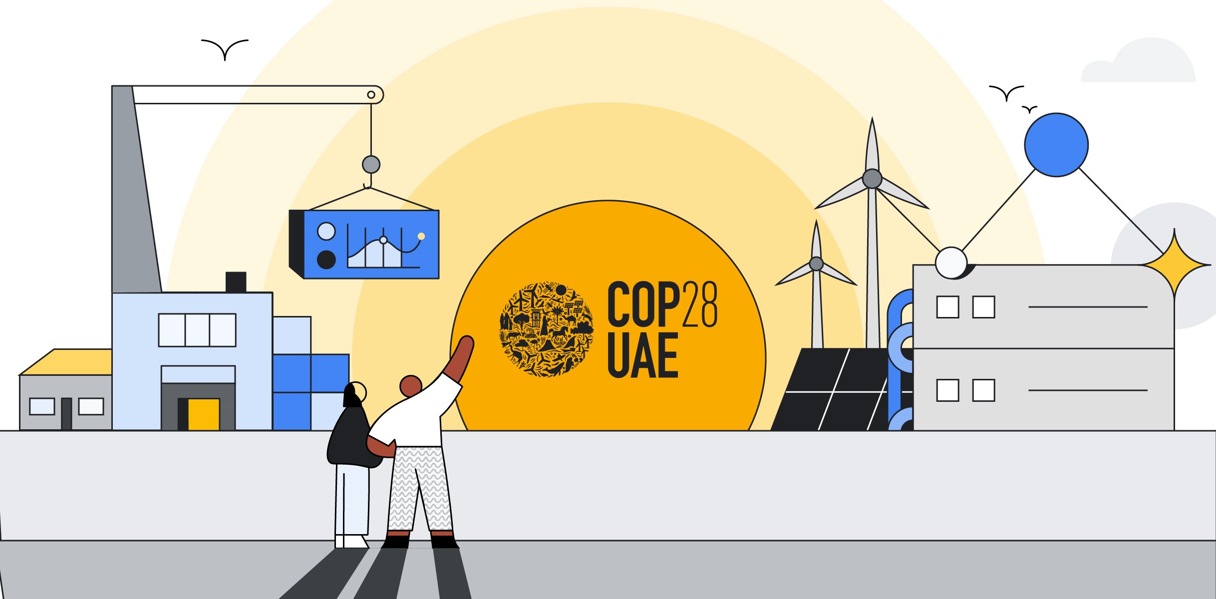
COP28: Combating deforestation with legislation and technology's crucial role
Yael MaGuire
Vice President and General Manager, Geo Sustainability, Google
Eugene Yeh
Director, Global Solutions, Geo Sustainability GTM, Google
Every year the world loses around 10 million hectares of forest, while deforestation alone accounts for 11% of greenhouse gas emissions.
As world leaders convene at COP28 to discuss today’s theme of nature preservation, it’s important to focus on legislation — an essential factor in combating climate change. And to realize significant impact, it’s also important to explore solutions to help companies comply with regulations and achieve their sustainability goals.
Understanding deforestation regulation requirements
Europe is leading the way in deforestation legislation with their European Union Deforestation Regulation (EUDR) that went into effect in June of 2023, with large companies needing to comply by December 2024. This groundbreaking legislation will require companies to provide statements affirming that goods sold or produced in the EU were not grown on land deforested after December 30, 2020.
Measuring the environmental impact of commodity sourcing is complex, requiring clear reporting standards that are based on measurable, quantitative, objective, and internationally recognized data and information linking every step in the supply chain to deforestation, forest degradation, and changes in the world’s forest cover. Obtaining this data is no small feat and only possible at scale with innovative technology.
To begin with, collecting local field and land use information at the site of production can be challenging. The EUDR requires a precise geolocation for each commodity, down to the specific field. This is a significant undertaking, as supply chains can have thousands of producers supplying a single commodity, and farmers don’t always have the means to provide the necessary information.
Solutions are also needed to access geospatial data on EUDR-impacted commodities that are global, consistent and trusted to support companies doing the required risk assessments. Today, this data is fragmented, produced through multiple methods, and not available in a single platform. To learn more about these challenges from leading experts, see the EUDR and commodity mapping talks at the recent Geo for Good Summit.
Geospatial innovations for sustainable supply chains
At Google, we have a long history of investing in efforts to combat illegal deforestation, including with Google Earth Engine, which started from a partnership to prevent deforestation in the Amazon rainforest. With projects like Ground and Collect Earth, we are working to address the challenges of field data collection and visual classification. And we are also a founding partner in the Forest Data Partnership, a consortium of industry, governmental, and institutional leaders that aims to halt and reverse forest loss from commodity production.
Additionally, we work closely with our partners and customers to develop sustainability solutions. Determined to break the link between palm oil and deforestation, Unilever worked with Google and NGIS, a Google Cloud Ready - Sustainability partner, to track and trace their supply chain — this capability is available in TraceMark, a first-mile sustainable sourcing solution that was built using Google Cloud products Earth Engine, BigQuery, and Analytics Hub. It addresses a wide variety of EUDR-impacted commodities including palm, coffee, cocoa, soy, and paper.
Through these experiences and efforts with our customers and partners, we have an enhanced understanding of the two most salient needs in becoming EUDR compliant: the need for ground-based data collection for field-level mapping, and for globally consistent geospatial data to support due-diligence risk assessments for commodity sourcing. We will continue work to solve these needs into 2024.
To further support EUDR compliance efforts, the Joint Research Centre released the 2020 global map of forest cover in December 2023. The map provides a spatially explicit representation of forest presence and absence for the year 2020 at 10m spatial resolution. While companies will still need to carry out due diligence to ensure full compliance, the map will be a helpful source and starting point to understand where there’s potential deforestation risk in their supply chain. We are excited to announce that this dataset is available in the Earth Engine Data Catalog; you can read more about this announcement here.
Working together to combat deforestation
Through collective efforts with scientists, experts, partners, and customers, we can create innovations using Earth Engine and other Google Cloud products to help governments, NGOs, and corporations meet their sustainable sourcing goals and comply with environmental legislation.
We invite you to explore Ground and give us feedback on the initial palm mask, developed with the Forest Data Partnership.
If you’re interested in using Google Earth Engine for your business’ sustainability efforts, reach out to your Google Cloud representative, or get started here.
We’ll be blogging throughout COP28; follow along here.