On Biodiversity Day, we’re sharing three cloud tools for protecting habitats and wildlife
Alexandrina Garcia-Verdin
Geo for Environment, Google
Tanya Birch
Geo for Environment, Google
Try Google Cloud
Start building on Google Cloud with $300 in free credits and 20+ always free products.
Free trialEditor's note: At Google Cloud we’re working with global organizations to help them use technology to build a more sustainable future. During the 2022 United Nations Climate Change Conference, or COP27, representatives from countries and organizations around the world — including Google Cloud — gathered in Sharm El-Sheikh, Egypt from November 7 - 18, 2022 for the latest round of climate talks. Check here for perspectives from onsite, thoughts from Google experts and customers, curated content and announcements. Or catch the event for yourself on Youtube.

In addition to decarbonization, one of the goals of COP27 is to protect natural habitats and wildlife species. Recent advancements in technology have a big role to play here:
There’s greater accessibility of satellite imagery and species data.
It’s easier than ever to create custom map applications.
Machine learning models are available that measure changes automatically on the Earth with great accuracy.
Having near-real time tools both in the sky and on the ground is key to quantifying the constant changes occurring in landscapes, especially those due to human activity and climate change. In the past, land managers made policy recommendations based on the best-available data, but by the time they arrived at a decision maker’s desk, the data was out of date. Tools like Google Earth Engine use frequently updated satellite data, and supports crowd-sourced data, such as images of wildlife in peoples’ backyards. Researchers can use this data to quickly generate (and map) indicators of species and habitat health, to measure the success of protection or restoration efforts. And machine learning models help translate large amounts of climate, weather and geospatial data into trends and predictions.
When people combine their passion for solving globally-complex environmental challenges with technical and project management skills, we can greatly accelerate progress. TerrAdapt.org, WildlifeInsights.org, and Restor.eco are three good examples of this. Built on Google Earth Engine and Google Cloud, read on for a quick summary of each of these projects, and ideas on how you can leverage them,
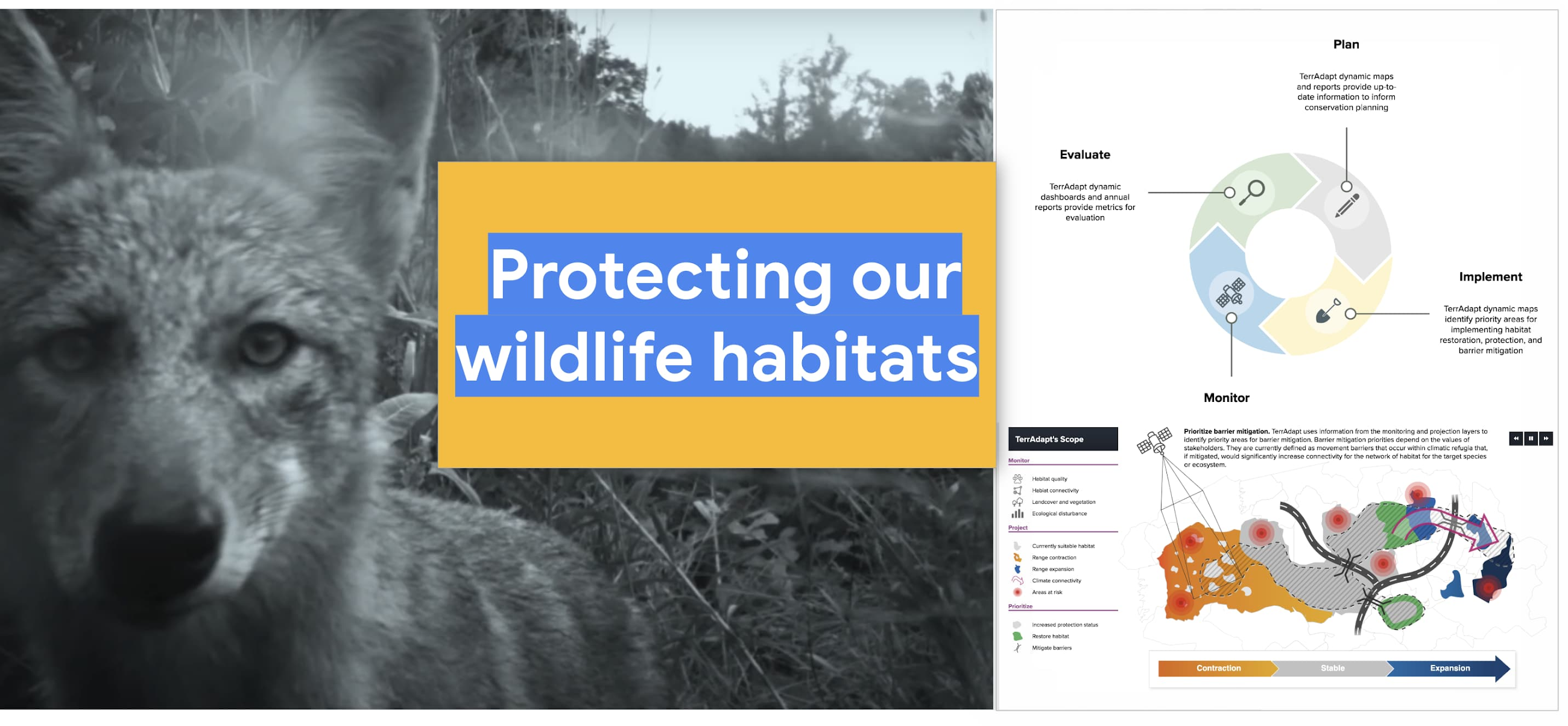
TerrAdapt
The challenges we biodiversity researchers face are focused on carrying out research quickly, and ensuring it gets to decision-makers in time.
Angelica Diaz Pulido, Instituto Humboldt

Habitats are shifting rapidly as the planet warms. TerrAdapt.org helps government agencies, land managers, local communities and conservationists to monitor these changes dynamically across regional political boundaries and project future climate and land-use scenarios to inform priority species and habitat plans. TerrAdapt partners with land managers to quantifiably measure land disturbances and help them access dynamically updating data so they can prioritize areas for conservation and habitat connectivity (such as wildlife corridors).
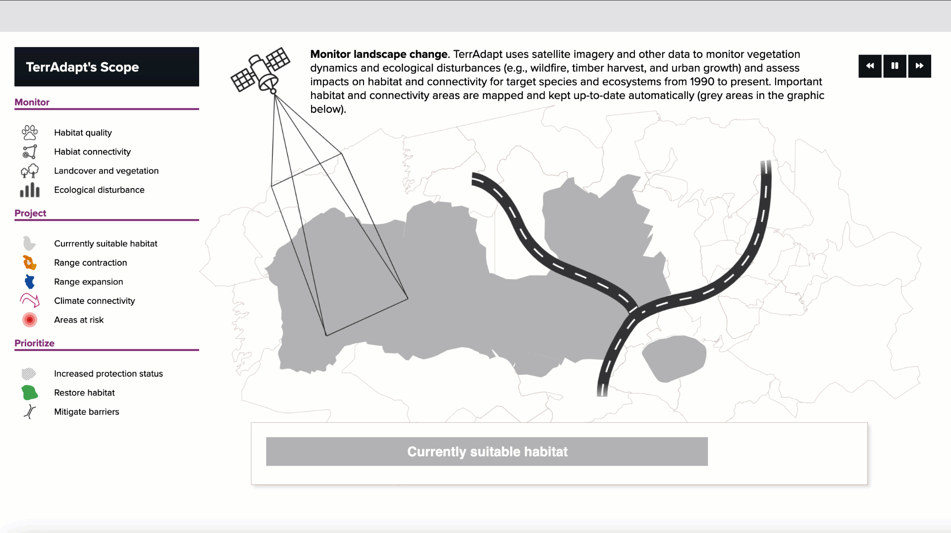
Now, with the help of tools like Google Earth Engine, which offers frequently updating satellite imagery, scientists can bring updated data layers to land managers so we can increase climate resilience for plants, animals, and human communities that depend on our natural landscapes. TerrAdapt is a platform offering updating datasets for adaptive management decisions.
Additional resources: log: Using TerrAdapt to monitor wolverines
Wildlife Insights
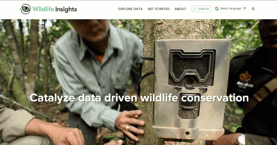
Wildlife Insights is a tool built on Google Cloud that enables anyone with motion-triggered camera-trap data to identify the species in the images using AI. It also allows people to explore wildlife images from all over the globe. Ultimately, Wildlife Insights helps protected area managers measure the impact of their conservation decisions, and learn whether biodiversity is increasing or decreasing in a region.
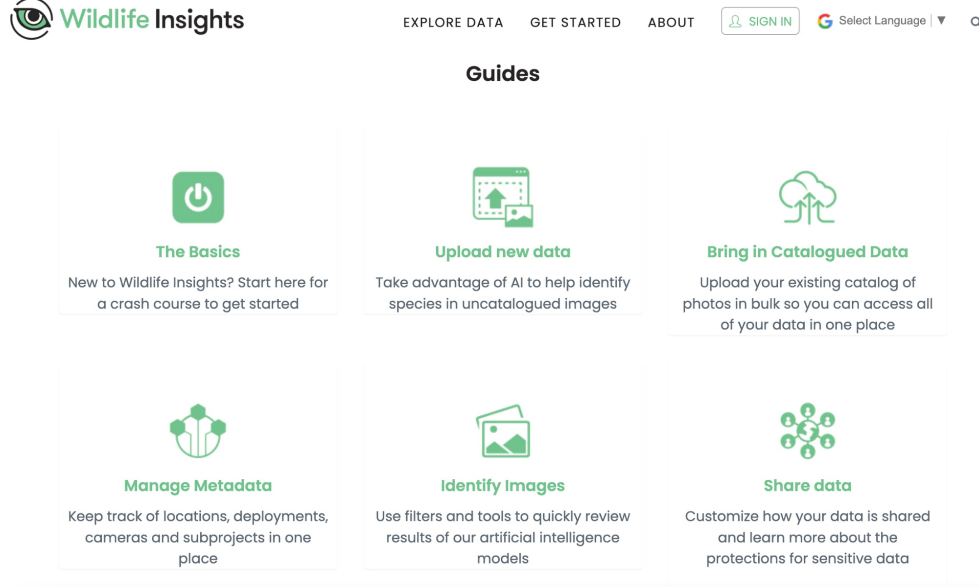
Historically, many conservation organizations collected wildlife data using camera traps, including Wildlife Conservation Society, Smithsonian Conservation Biology Institute, North Carolina Museum of Natural Sciences, WWF, Zoological Society of London, and Conservation International. These expert-labeled images presented a great training dataset for computer vision models trained on the TensorFlow framework, and today, the resulting AI models drastically reduce the time researchers spend processing camera trap images. In addition to species identification, Wildlife Insights makes it easier for conservation biologists and land managers to share species data with one another, so they can better understand wildlife populations and their distribution across landscapes.
Additional resources: (blog) How Wildlife Insights captures the beauty & fragility of biodiversity
Restor.eco
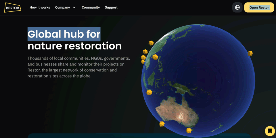
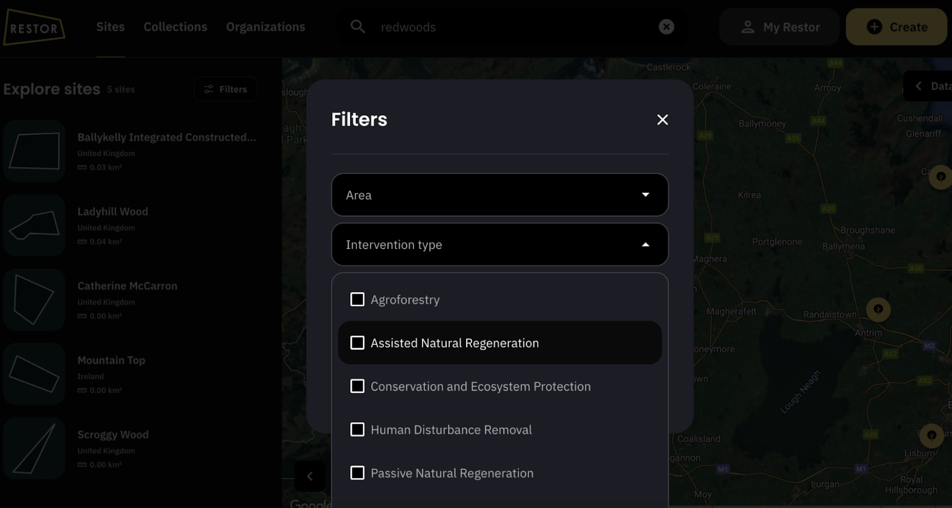
When it comes to reforestation, decision makers have a lot of questions: “Should we plant in plot A or B?” “What type of tree should we plant?” and “What is the environmental and social impact of this reforestation effort?” Answering these questions requires lots of data and locally-relevant information. Restor was launched in 2021 to help people and organizations decide which trees to plant in the right places by analyzing, monitoring and sharing restoration projects. It’s currently the largest network of conservation and restoration sites across the globe.
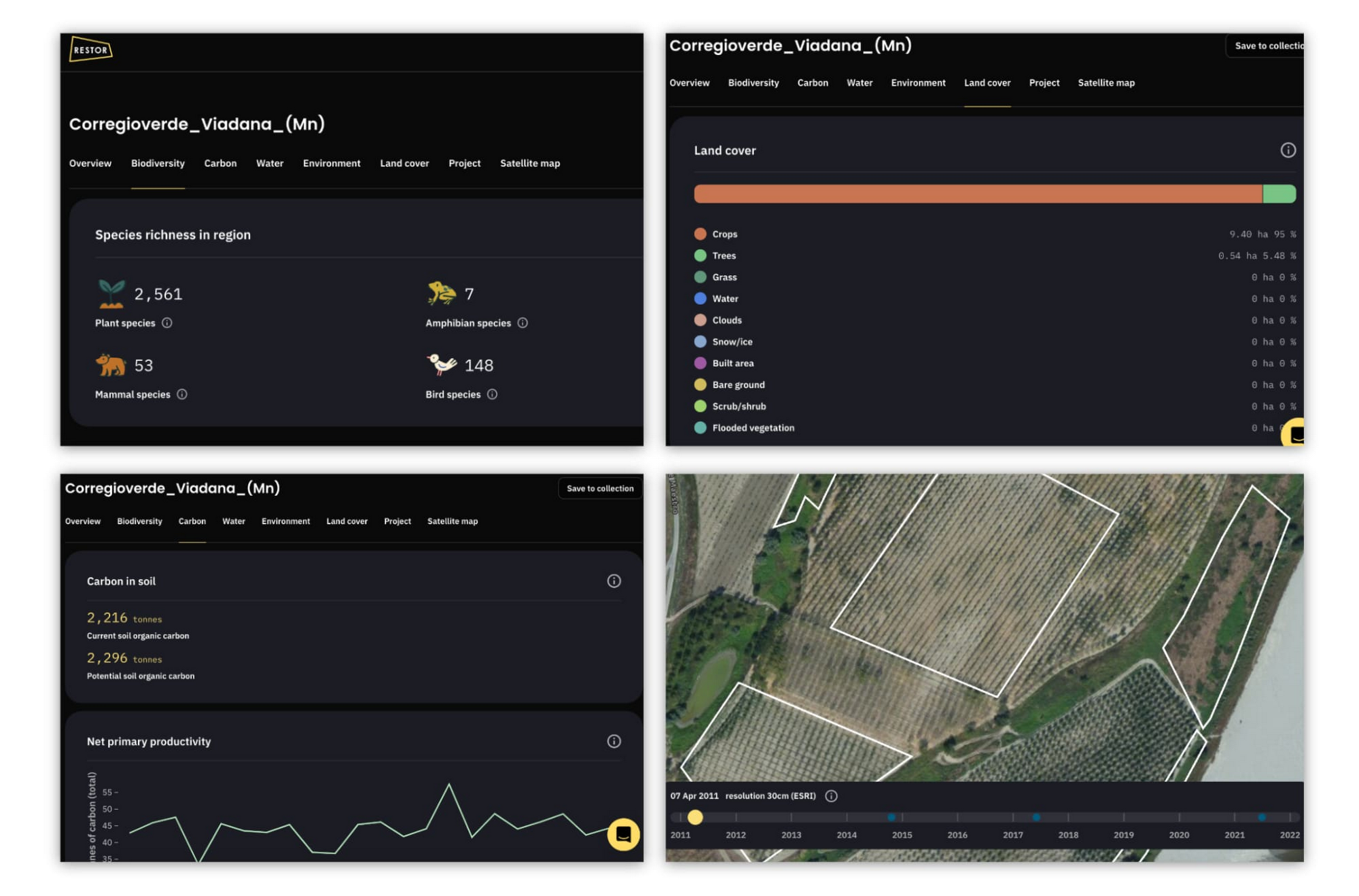
Restor.eco is powered by global datasets that monitor restoration projects over time. When a user draws the boundary of a potential restoration project on the site’s map, Restor provides them with relevant and specific metrics about their site from over 33 datasets touching on biodiversity data such as species richness, native plant species, soil carbon and precipitation. Restor also provides users with a visual satellite imagery timeline of land changes for the past 10 years, helping them understand the intensity of change, target reforestation efforts to regions in need, and increase the likelihood of a successful reforestation effort.
The site also serves as a searchable directory, enabling restoration projects of any size to find similar initiatives as well as their donors to find them and learn about their restoration metrics and even receive donations.
Additional resources: Costa Rica leading the movement for environmental transparency
Try them
It’s amazing how far we have come in being able to use technology to help our biodiversity. Be sure to check out these publicly available web applications and share them with your community.