Next Reaction: Features to reduce IT carbon emissions and build climate-related solutions
Alexandrina Garcia-Verdin
Geo for Environment Developer Advocate
Try Google Cloud
Start building on Google Cloud with $300 in free credits and 20+ always free products.
Free trialClimate technology strategies are becoming increasingly important. A Google-commissioned study by IDG shows that 90% of IT departments are making sustainability a priority; and with the advances in machine learning, many organizations are also increasingly interested in building climate solutions whether it’s using geo-spatial data or predictive maintenance. This is why we are happy to share four announcements at NEXT 2021 that help IT teams improve their sustainability efforts, or build complex ML big data climate solutions that are usually computationally intensive.
From a making IT operations greener, Google Cloud is offering two fundamental tools:
1) A free Carbon Footprint dashboard is now available in your Cloud project. It displays gross carbon emissions from the electricity associated with the usage of covered Google Cloud services for the selected billing account. With growing requirements for Environmental Social and Governance (ESG) accuracy; accounting for IT carbon emissions is necessary to measure progress against the carbon reduction targets required to avert the worst consequences of climate change. By using Carbon Footprint, you have access to your cloud infrastructure’s energy related emissions data needed for your internal carbon inventories and external carbon disclosures, with one click. This dashboard was built in collaboration with customers like Atos, Etsy, HSBC, L’Oréal, and Salesforce.

Ensure you have viewer access to the billing account. You will be able to view pre-built charts that summarize kilograms of CO2 equivalent (kgCO2e) in the past 12 months, by project, product, and region. It can take up to 21 days for the previous month to become available.
For greater customization, you can optionally export your Carbon Footprint data to BigQuery which is a database with a free tier of upto 10GB of storage and 1 TB of queries per month in order to perform data analysis, or create custom dashboards and reports. You can optionally further dig into the carbon footprint reporting methodology.
2) We are helping IT practitioners make informed decisions when selecting the greenest compute resources. When selecting a region you can view the lowest carbon impact inside Cloud Console location selectors with the green leaf icon.
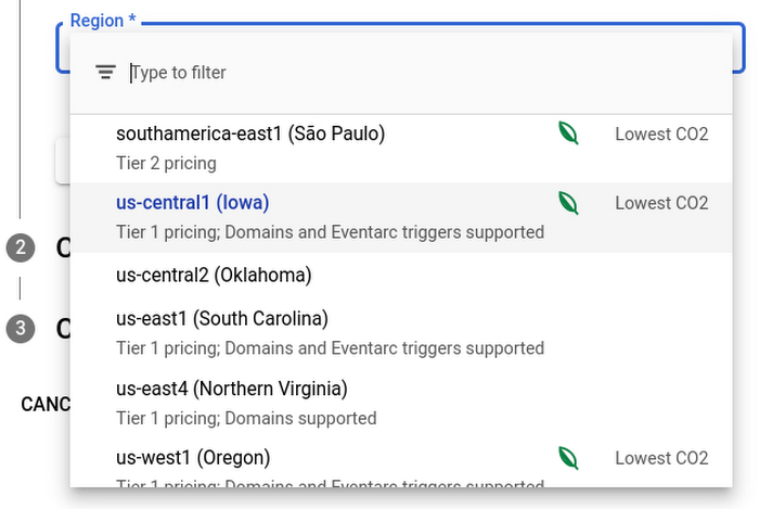
Drop-down with green leaf icons to select a less carbon emitting region.
The following tool also enables you to make greener choices when choosing what regions to house your compute resources, and accounts for variables like price, latency, and sustainability.
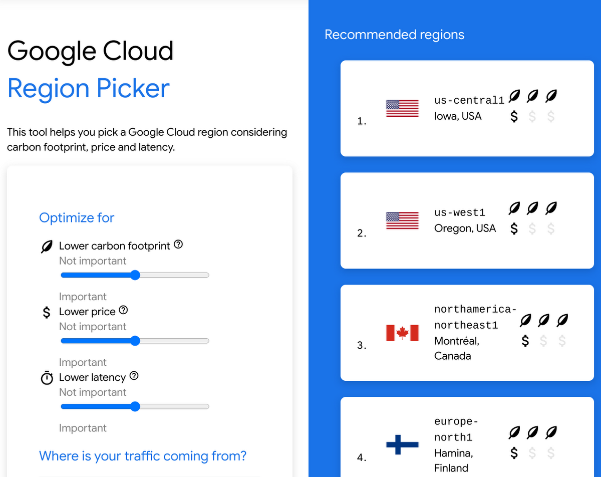
Screenshot of Google Cloud region picker to help customers select the greenest regions for their cloud projects.
One of the greatest IT low-hanging fruits for reducing gross emissions is locating and deleting unattended projects using the Active Assist Recommender. The recommender uses machine learning to identify, with a high degree of confidence, projects that are likely abandoned based on API and networking activity, billing, usage of cloud services, and other signals. By deleting these projects, you reduce costs, mitigate security risks, and reduce carbon emissions.

The next two announcements help organizations build climate solutions using ML and satellite imagery:
1) Whether your organization is trying to understand changes on the Earth due to supply chain operations, or performing risk modeling on upcoming climatic changes, developers and scientists have turned to Google Earth Engine because it houses the world’s largest catalog of satellite imagery and geo-spatial data. Over the past year we have worked with numerous organizations that use Earth Engine datasets and analyze them in managed services like a BigQuery database or apply Machine Learning via Vertex AI (to name a few). This is why we are offering an enterprise-grade experience of Earth Engine and Google Cloud services. You can sign-up via this form
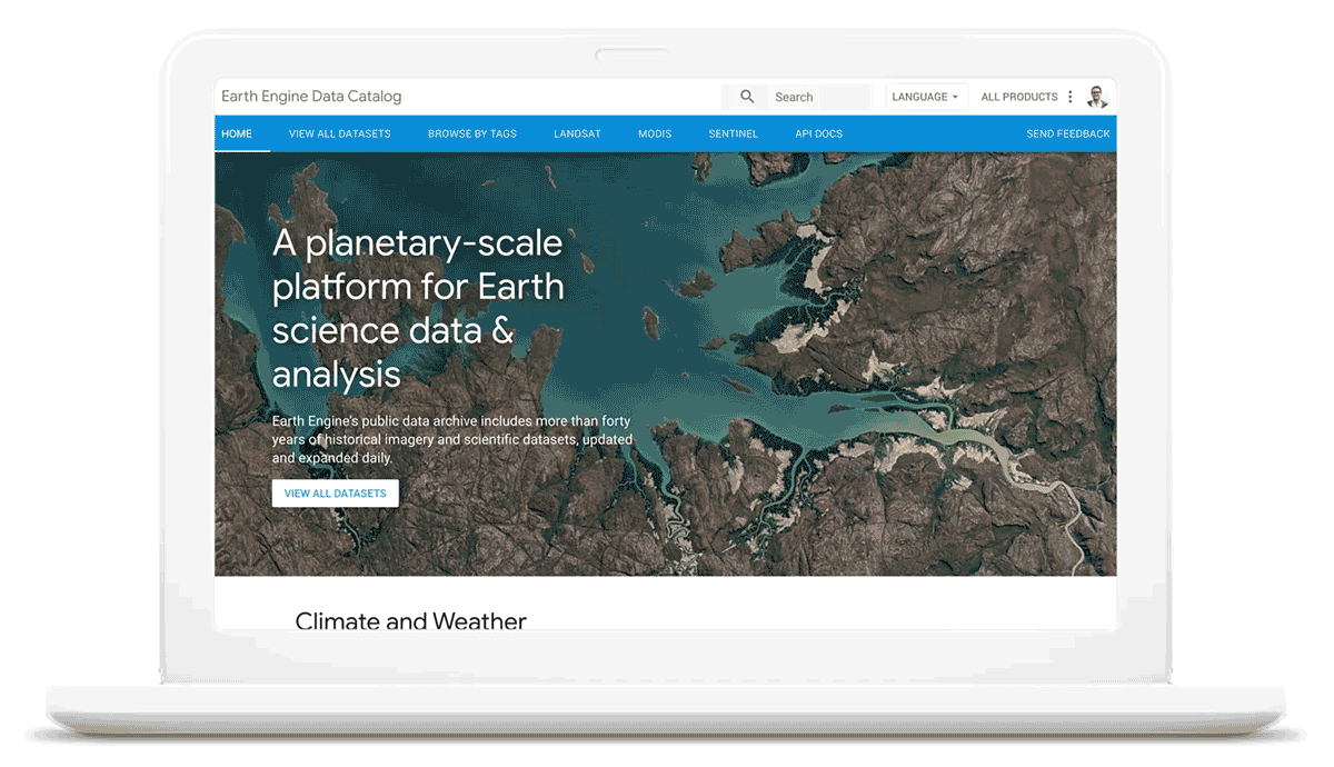
Earth Engine’s data catalog
2) We are announcing expanded partnerships with these five geo-data focused independent software vendors (ISVs) to access sustainability datasets with low latency on Google Cloud: CARTO, Climate Engine, Geotab, NGIS, and Planet.
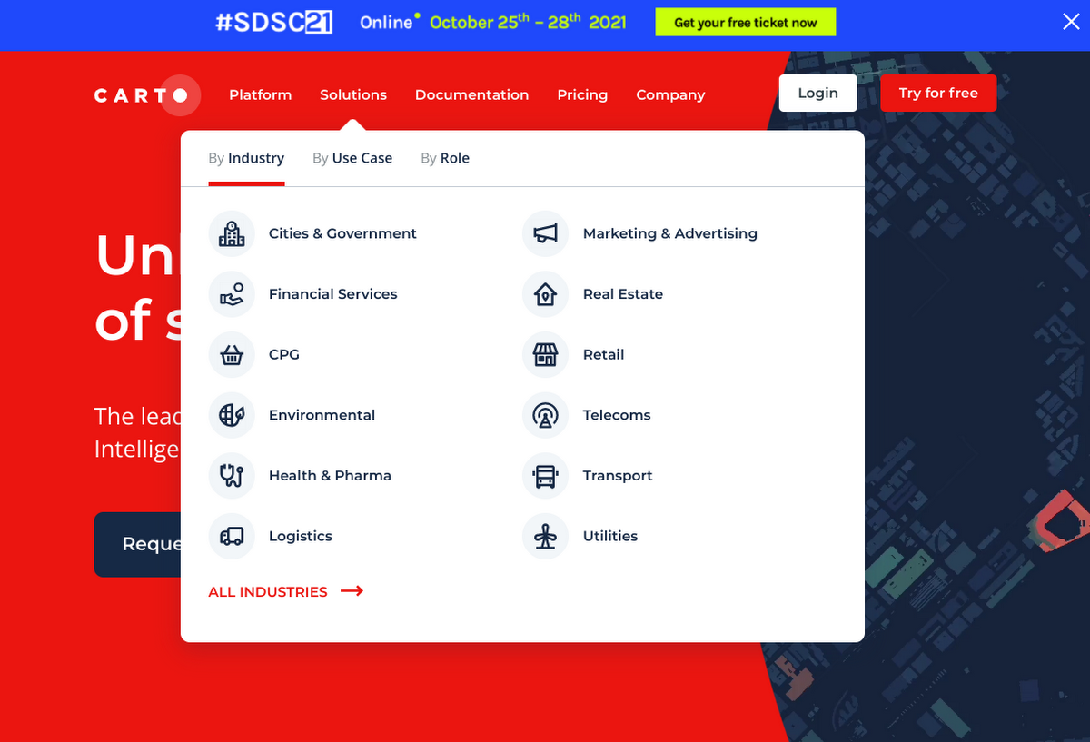
Carto is a location Intelligence platform that enables organizations to use spatial data and analysis for more efficient delivery routes, better behavioral marketing, strategic store placements, and more.
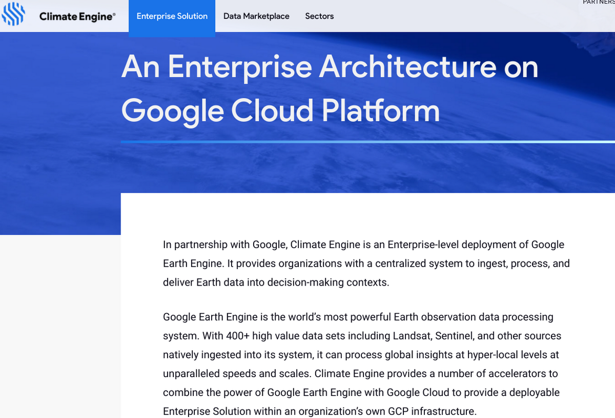
Climate Engine is an Enterprise-level deployment of Google Earth Engine. It provides organizations with a centralized system to ingest, process, and deliver Earth data into decision-making contexts.
Geotab connects commercial vehicles to the internet and provides web-based analytics to help customers better manage their fleets.
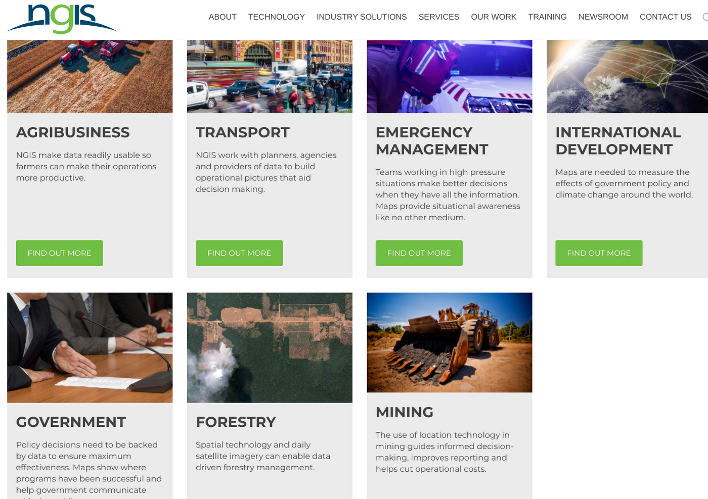
NGIS uses software and data to tackle issues such as sustainable development, biodiversity and conservation, preservation of Indigenous rights and interests, climate change and disaster risk reduction.

Planet has a fleet of approximately 200 earth imaging satellites (the largest in history) to image the whole Earth land mass daily to deliver insights in agriculture, forestry, mapping, and government.