Products
Solutions
By use case
Products
Solutions
By use case
Products
Solutions
By use case
Make the world your platform


Explore use cases
See what your business can do with Google on its side.

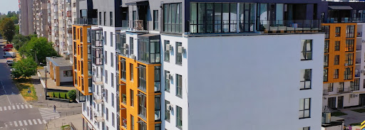
Find the best location
Help customers find and visit the nearest store, ATM, restaurant, auto shop, medical office, and more.
Learn more

Visualize data
Display or analyze geospatial data on a map to help customers make decisions.
Learn more

Provide local information
Understand what's nearby to simplify decisions like where to shop, visit, or live.
Learn more


Build immersive experiences
Increase engagement, communicate dynamic information, and delight users.
Learn more

Improve addresses
Help users quickly enter the right address when searching, signing up, or checking out.
Learn more

Find your solution
Tell us your goals and we’ll help you achieve them with business mapping and location-based solutions.

I'd like to
- improve addresses
-
- improve addresses
- display the ideal location
- visualize data
- provide local information
- track assets
- offer efficient routes
- build immersive experiences
- enrich transactions
- build a product locator
- create a store locator
- improve checkout
- support rides & deliveries
- optimize last mile fleet deliveries
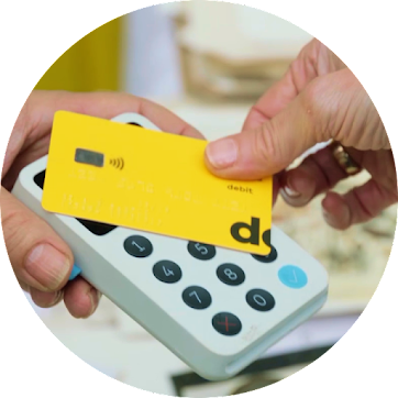
- add a branch & atm locator
- build contextual experiences
- improve sign-up
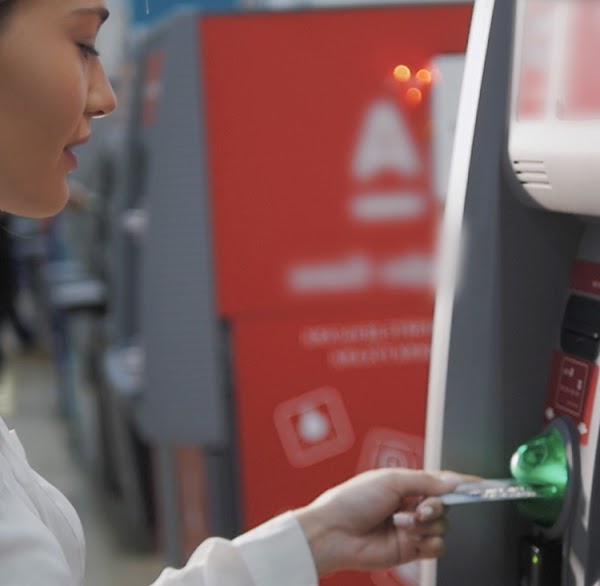
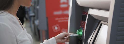
- improve fraud detection
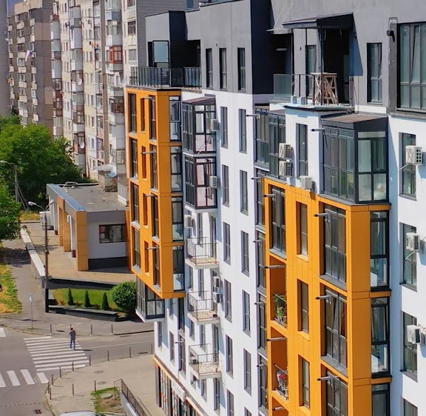
- add property search
- highlight neighborhoods
and I work in
- retail
-
- retail
- transportation & logistics
- financial services
- real estate
- something else